Community depth maps, made by anglers — not companies.
Bring a sonar log, get Premium. Everyone sees the lake. Depth maps of lakes, ponds and reservoirs are built from the community’s soundings and open in the Viskaart app for free.
- 5waters mapped
- 26sonar logs
- 125,580soundings
- 1contributors
How it works
Record a track
While you fish, your sonar (Deeper, Garmin, Lowrance, Humminbird) logs depth along your route. Nothing extra to do.
Upload the log in the app
Tap “+” on the Depths screen and pick the files. Up to 5 files a day, processed within 1–3 days.
Everyone sees the map
We cross-check the soundings, build isobaths and publish the map. You get a push, points and Premium days.
Waters already surveyed
5Open a water page: surveyed-zone outline, max depth, authors. The map itself with isobaths is in the app.
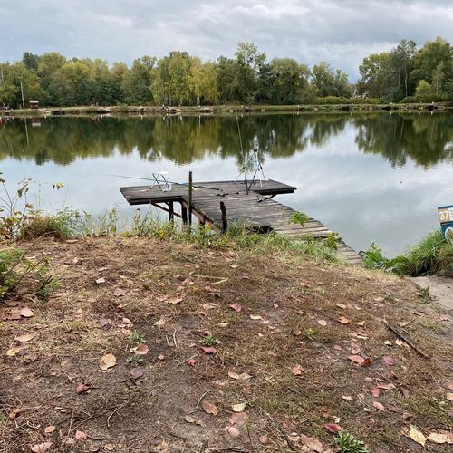 ↓ 8.01 m
Білі камені 1.1 щуче озеро
 ↓ 10.27 m
Озеро Сонячне
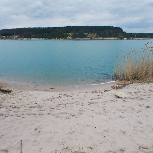 ↓ 5.59 m
Ясниський кар'єр
 ↓ 4.34 m
Південний Буг (Вінниця)
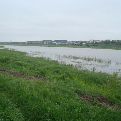 ↓ 3.61 m
Царське озеро
Find it on the Viskaart map and tap “I want a map” — we see the demand and nudge nearby contributors. Or become the first contributor yourself.
Bring a log → get Premium
Every accepted and published log earns rating points and days of Viskaart Premium. Rewards are granted automatically when the map is published.
The first published log of a water that was not on the depth map yet.
Re-surveying matters too: new areas, fresh soundings after water level changes.
10 / 20 / 40 Viskaart rating points for 1, 5 and 15 published logs.
Authors are shown on the water page and in the app — the water is “yours” for the whole community.
For contributors
You can upload logs from the website too — same limits, statuses and rewards as in the app.
Supported files
- Deeper — CSV export from Fish Deeper (track with depths)
- Lowrance / Simrad — .sl2, .sl3, .slg
- Garmin — .rsd (Garmin Quickdraw), GPX with depths
- Humminbird — .son / .dat (from the recording folder)
- Any CSV/TXT/XYZ with lat, lon, depth columns
Rules and limits
- Up to 5 files a day per account, up to 500 MB each
- One-time consent: logs are used to build Viskaart depth maps
- Soundings are checked: junk or “drawn” tracks are rejected with a reason
- Log status is visible in the app: received → processing → published
- Maps are available to users with a verified e-mail or a subscription
Why the maps are not on the website
Viskaart depth maps were created by anglers with their own logs. We do not hand them out to services and companies that never contributed a sounding — so the website shows only the surveyed-zone outline and numbers.
In the app the maps are free for every user with a verified e-mail: isobaths, depth at any point by tap, distance rulers and a circular casting ruler, your own markers.
FAQ
What are Viskaart Depths?
Community depth maps: anglers record tracks with their sonars (Deeper, Garmin, Lowrance, Humminbird), upload the logs in the Viskaart app, and we build and publish a depth map of the water for everyone.
How do I get a depth map of my lake?
Open the Depths screen in the Viskaart app and tap “+” to upload a sonar log. If the water has no map yet, you become its first contributor and get +30 days of Premium when the map is published.
Which sonar files are supported?
Deeper CSV export, Lowrance/Simrad .sl2/.sl3/.slg, Garmin .rsd and GPX with depths, Humminbird .son/.dat, and any CSV/TXT/XYZ with lat, lon and depth columns. Up to 5 files a day, 500 MB each.
Why are the depth maps only in the app and not on the website?
The maps were created by anglers with their own logs. We do not hand them out to services that never contributed a sounding, so the website shows only the surveyed-zone outline and numbers; the full map opens in the app.
Are the depth maps free?
Yes. Depth maps are free for every Viskaart user with a verified e-mail. Premium adds the circular casting ruler and other tools.
What do contributors get?
Rating points and the achievements Surveyor, Hydrographer and Depth Cartographer (10/20/40 points), +30 days of Viskaart Premium for the first map of a new water and for every 5 published logs on a known water, and their nickname on the water page.
Get Viskaart
Depth maps, water map, photo reports, bite forecast and flea market — in one app for iPhone and Android.