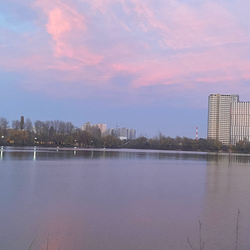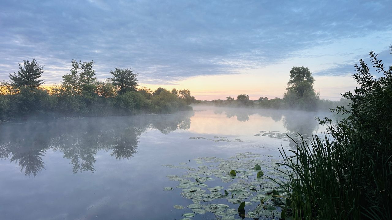
Дренажний канал біля с. Вишеньки
Description Reports 3Reviews 0

Дренажний канал біля с. Вишеньки

Natural (free) water body
Area: 45.8 гаShoreline: 13.8 км
Other names:🇺🇦Золоче
AI location analysis
Low confidence
6/10
Mid-tier location with inconsistent results; suitable for experimentation, not for targeting trophy fish

Drainage canal near Vyshenky shows unstable fishing quality with three reports rated 4/5. Main success tied to spinner fishing for perch and float fishing for small whitefish. One angler noted heavy roach populations but issues with feeder fishing. With such a small sample and short timeframe, reliable conclusions about seasonality or bite consistency cannot be drawn.

Best season
Spring (April–May), based on positive reports during this period
Best target fish
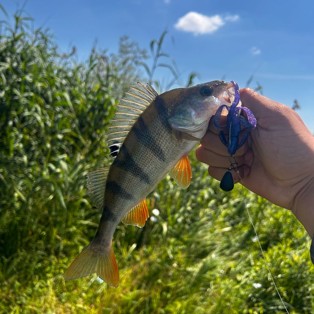
Perch (mainly on spinners); roach, bream, and rudd (float and bottom fishing)
  • Try spinning with soft plastics (Keitech) — appears to be the most productive method for perch
  • Float fishing with vanilla mix and ground cake showed success — worth trying for whitefish
  • Be cautious with feeder: one report showed no results, possibly due to canal hydrology or bottom structure
  • Spring (April–May) is the most promising period, but check locally before trips
Very small sample (3 reports), mostly spring dates, limited time range. One report describes undersized whitefish, suggesting inconsistent water quality. Mixed results (perch vs. whitefish, float success vs. feeder failure) may reflect differences in tactics and location choice rather than the canal itself. Low confidence in conclusions — additional reports from other seasons needed.
Was this analysis helpful?
✨ AI forecast for tomorrow
Weather, working baits and fishing methods for this location.
Working hours
Schedule not specified
Mon—
Tue—
Wed—
Thu—
Fri—
Sat—
Sun—
Description
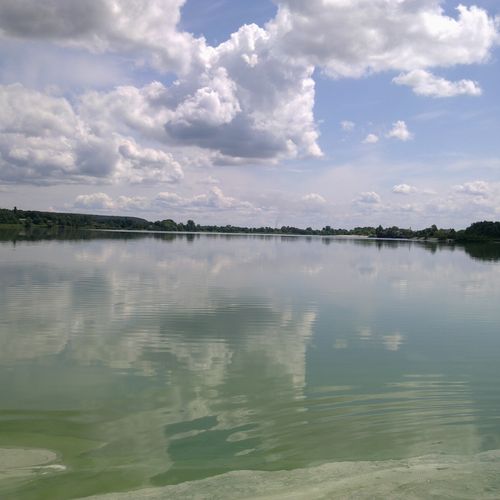
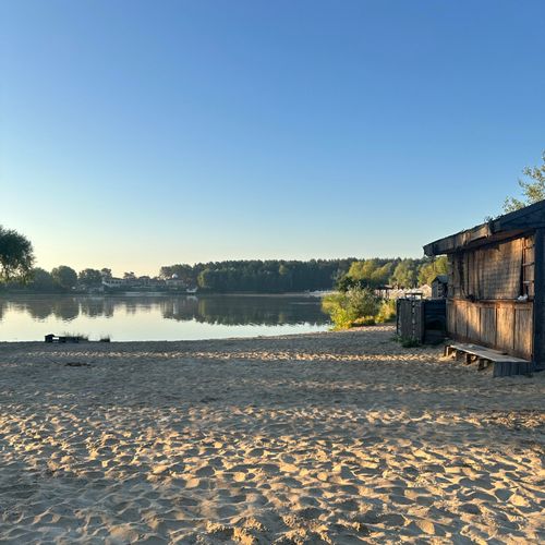
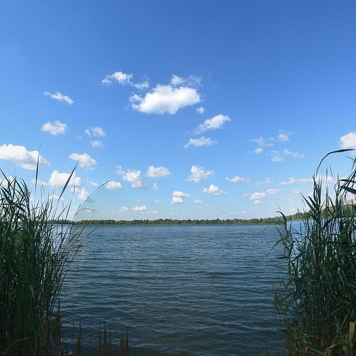
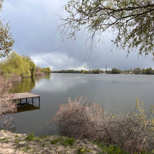
Канал біля села Вишеньки має складний, антропогенно змінений характер. Рельєф дна та особливості берегової лінії Береги: Переважно відкриті, місцями порості очеретом, рогозом і чагарником. Трапляються як крутіші зарослі ділянки з підмитими стінками, так і пологі зручні підходи до води. Дно: Здебільшого мулисте або глинисто-мулисте, з шаром органіки. Проте на ділянках із помірною течією (особливо де є звуження або робочі насосні та перекачувальні споруди) дно може бути піщано-глинистим або вкритим залишками старих затоплених гілок і корчів. Глибини: Рівень води та глибина часто залежать від роботи меліоративної системи та сезону. Середні робочі глибини становлять від 1 до 2.5 метрів, на окремих ямах та біля гідротехнічних споруд — до 3–3.5 метрів. Канал активно заростає куширем, елодеєю, рдестом та лататтям уздовж берегів. Утворюються справжні підводні «джунглі», які слугують ідеальним сховищем для малька та корковою базою для хижака. Видовой склад риби та специфіка лову за напрямками Головний хижак: щука (відмітного розміру «шнурки», але трапляються екземпляри і до 2–3 кг), окунь (стандартний «спортивний» розмір, проте є і гарні «горбані»), а також час від часу заходить жерех і сідає невеликий судачок біля витоків/зливів, карась, плітка, краснопірка, підлещик, верховодка, лящ, густера, линь.
Fish at the location
Allowed fishing techniques
Address
Україна, Київська область, Золочівська, Дренажний канал
Roman V
Post author
Roman V
Contacts
Are you the owner of this water body?

Verify your water body, add contacts and prices. Fishermen will be able to easily find you, book a spot online, leave reviews and much more! 🎣

😄 Nicely
4 photo
2
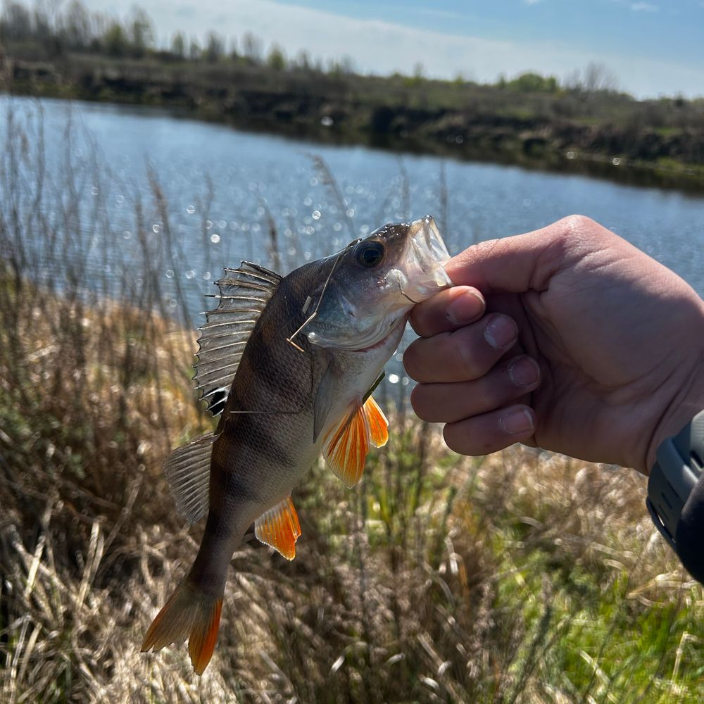
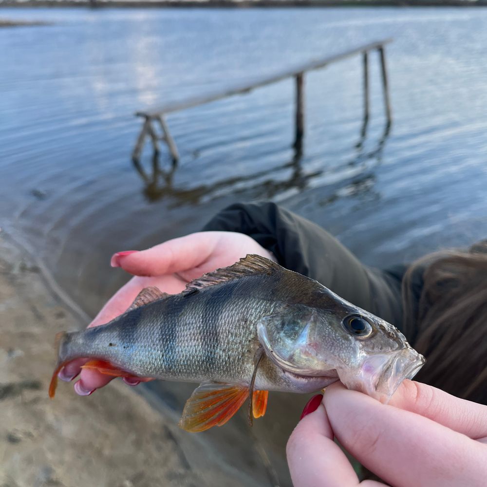
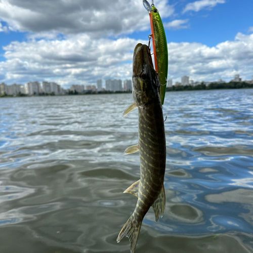
Поїхали святкувати Пасху і потрапили на ось такий дивовижний канал з великою кількістю... more
Published: 13.04.2026, 17:45
2

No reviews yet

Be the first to leave a review.

Depth map of Дренажний канал біля с. Вишеньки

not yet

There is no depth map of Дренажний канал біля с. Вишеньки yet. Anyone with a sonar — Deeper, Garmin, Lowrance or Humminbird — can create it.

1Record a sonar track while fishing
2Upload the log in the Viskaart app (+)
3We build the map and everyone sees it
🎁 First map of a new water — +30 days of Viskaart Premium
What is Viskaart Depths?

Waters nearby

FAQ

Is fishing at Дренажний канал біля с. Вишеньки paid?

No, Дренажний канал біля с. Вишеньки is a natural water and fishing is free. Follow catch rules and seasonal bans.

What fish are in Дренажний канал біля с. Вишеньки?

According to angler reports, Дренажний канал біля с. Вишеньки yields: Zander, Blue bream, Bleak, Bream. The latest catches with photos are under “Reports”.

When is the best time to fish Дренажний канал біля с. Вишеньки?

Based on 3 reports the best season is Spring. Daily weather and bite are in the reports.

Where is Дренажний канал біля с. Вишеньки and how to get there?

Дренажний канал біля с. Вишеньки is located in Zolochivska, Kyivska oblast. Coordinates: 50.27177, 30.73586. The map pin on Viskaart opens the route in your navigator.

How many reports and what rating does Дренажний канал біля с. Вишеньки have?

Viskaart has 3 reports from Дренажний канал біля с. Вишеньки. Add your own report or review after fishing.

Scan the QR code to download Viskaart

Beta