Олександрівське водосховище (П. Буг)
Description Reports 11Reviews 0

Олександрівське водосховище (П. Буг)

Natural (free) water body
Area: 1011 гаShoreline: 43.3 км
Other names:🇺🇦Олександрівське водосховище
AI location analysis
Medium confidence
7/10
Reliable spot for spinning and bottom fishing enthusiasts, with good fish variety, but based on a small sample size

Aleksandrivske Reservoir shows steady productivity mainly for predatory fish on spinning and for coarse fish on bottom rigs. Most reports rate 4–5 stars, with perch and pike-perch appearing most frequently. Data covers mostly autumn and spring, limiting conclusions about summer. The spot appeals to anglers seeking active feeding and diverse catches, but the sample of reports is small to guarantee consistency under other conditions.

Best season
Autumn and early spring (October–November, March); perch and pike-perch show highest activity during these periods
Best target fish
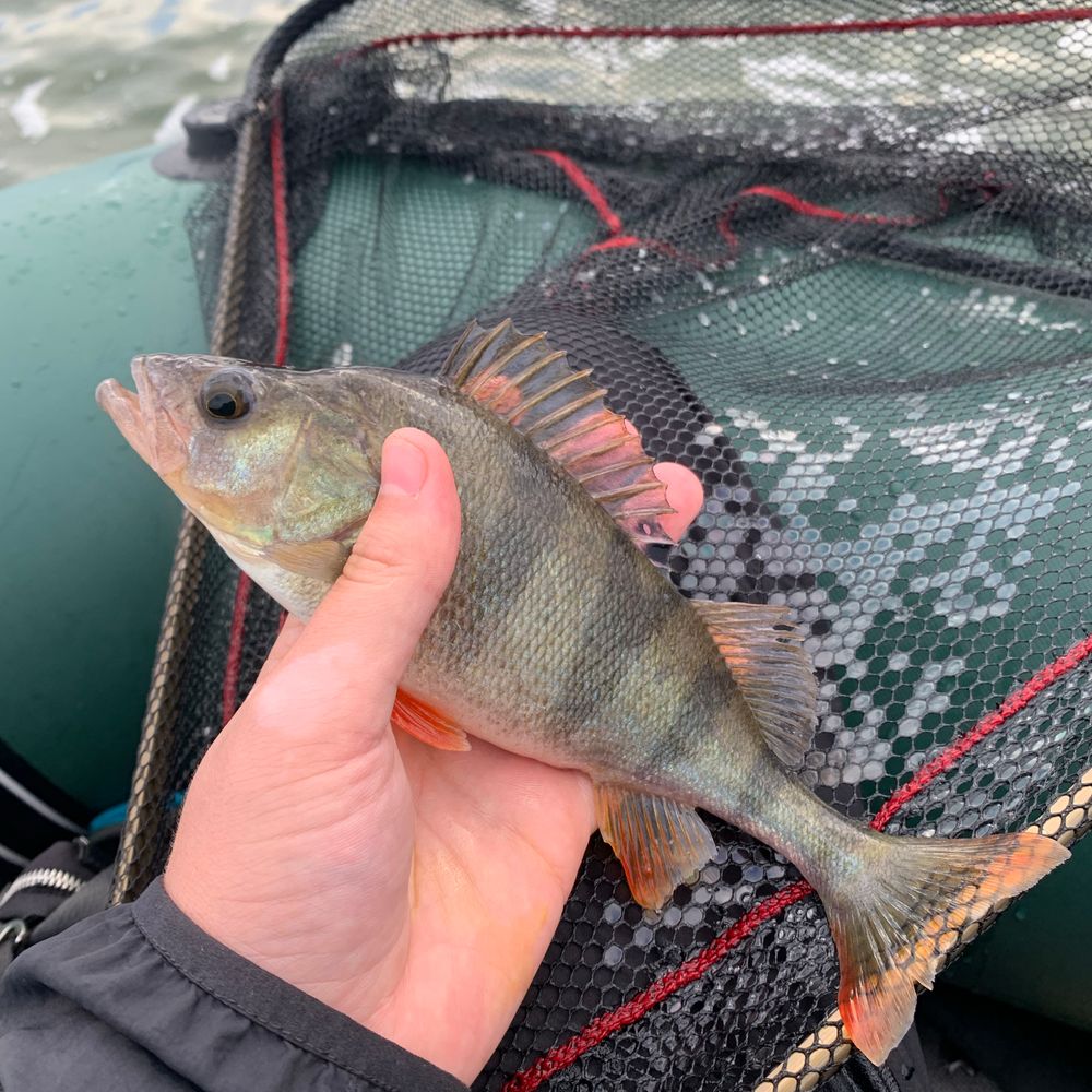
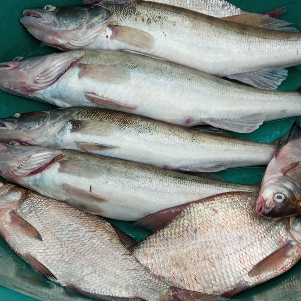
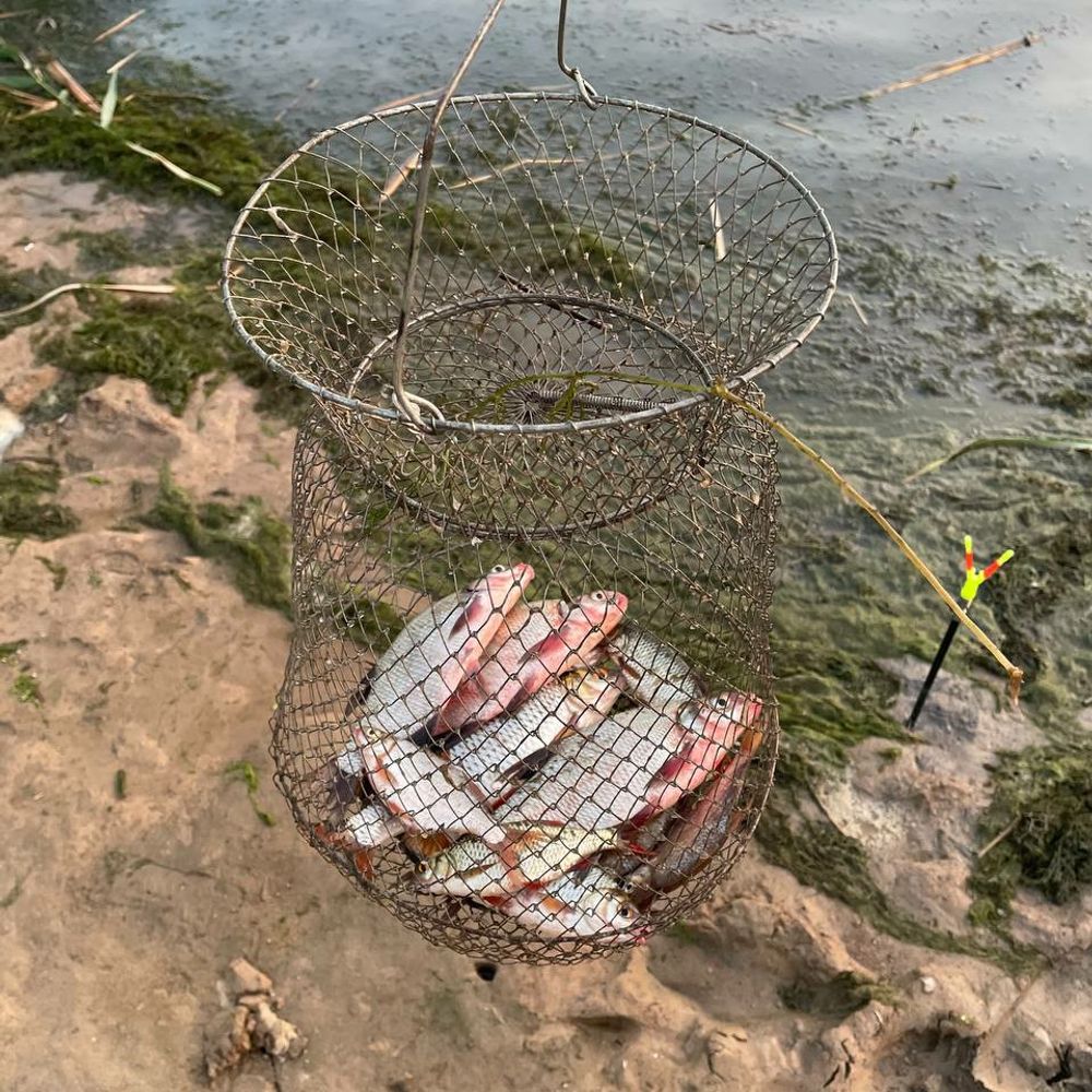
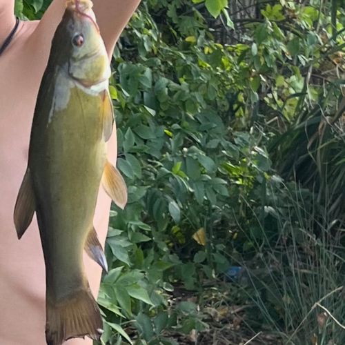
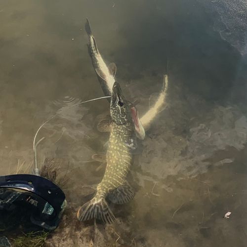
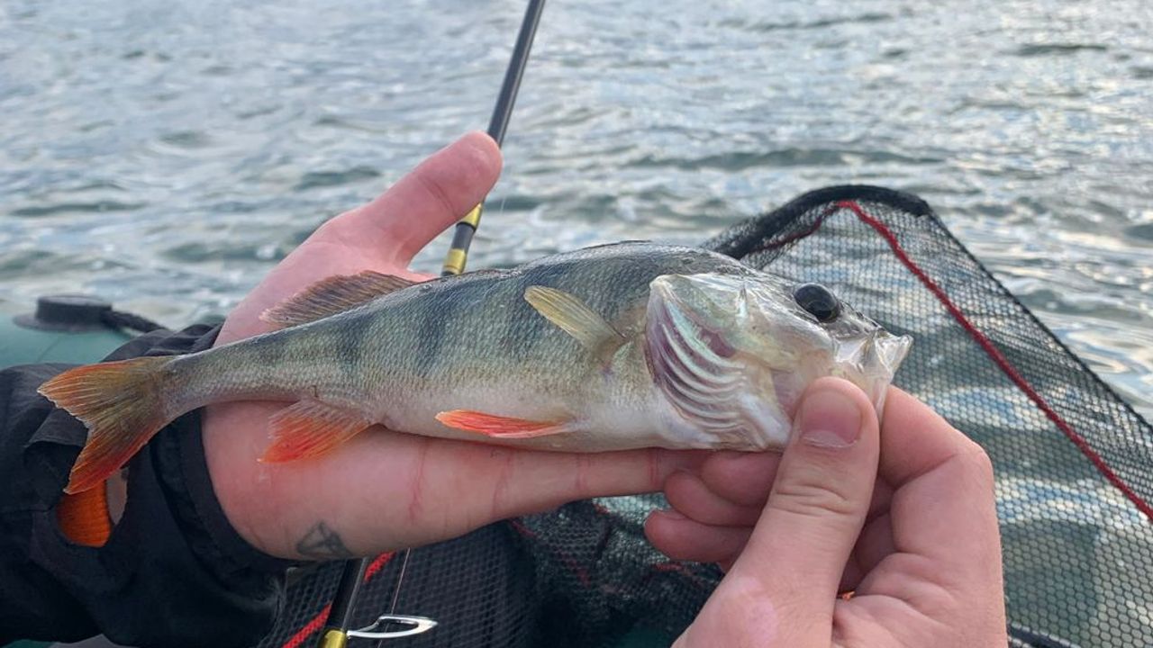
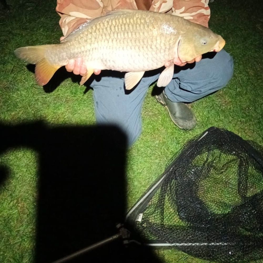
Perch, pike-perch, pike; also bream, rudd, and roach are caught
  • Try spinning for perch and pike-perch in October–November and March–April — peak feeding times are clearly visible
  • Bottom fishing (feeder) for bream and rudd is popular and productive; use maggots, semolina, or barley at 2–5 m depth
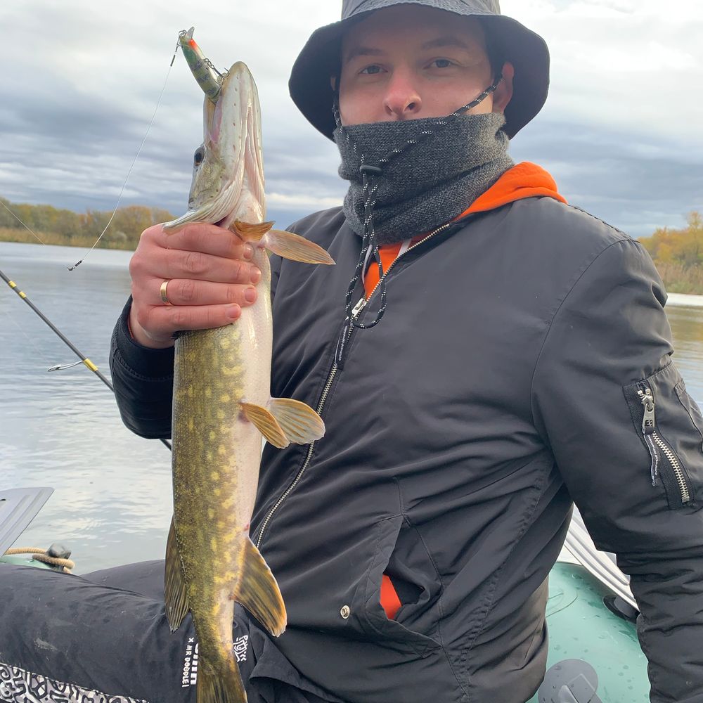
  • Pike is possible from a boat in windy weather; anglers note that rough conditions often attract fish
  • Bring live bait — several reports confirm its effectiveness for bream and other species
Sample consists of only 11 reports, mostly from autumn and spring; summer and winter data are limited. Most reports are quality self-submissions, but some lack detail on conditions and technique. Conclusions about the spot's reliability should be verified on a larger sample throughout the year.
Was this analysis helpful?
✨ AI forecast for tomorrow
Weather, working baits and fishing methods for this location.
Working hours
Schedule not specified
Mon—
Tue—
Wed—
Thu—
Fri—
Sat—
Sun—
Description
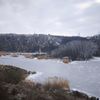
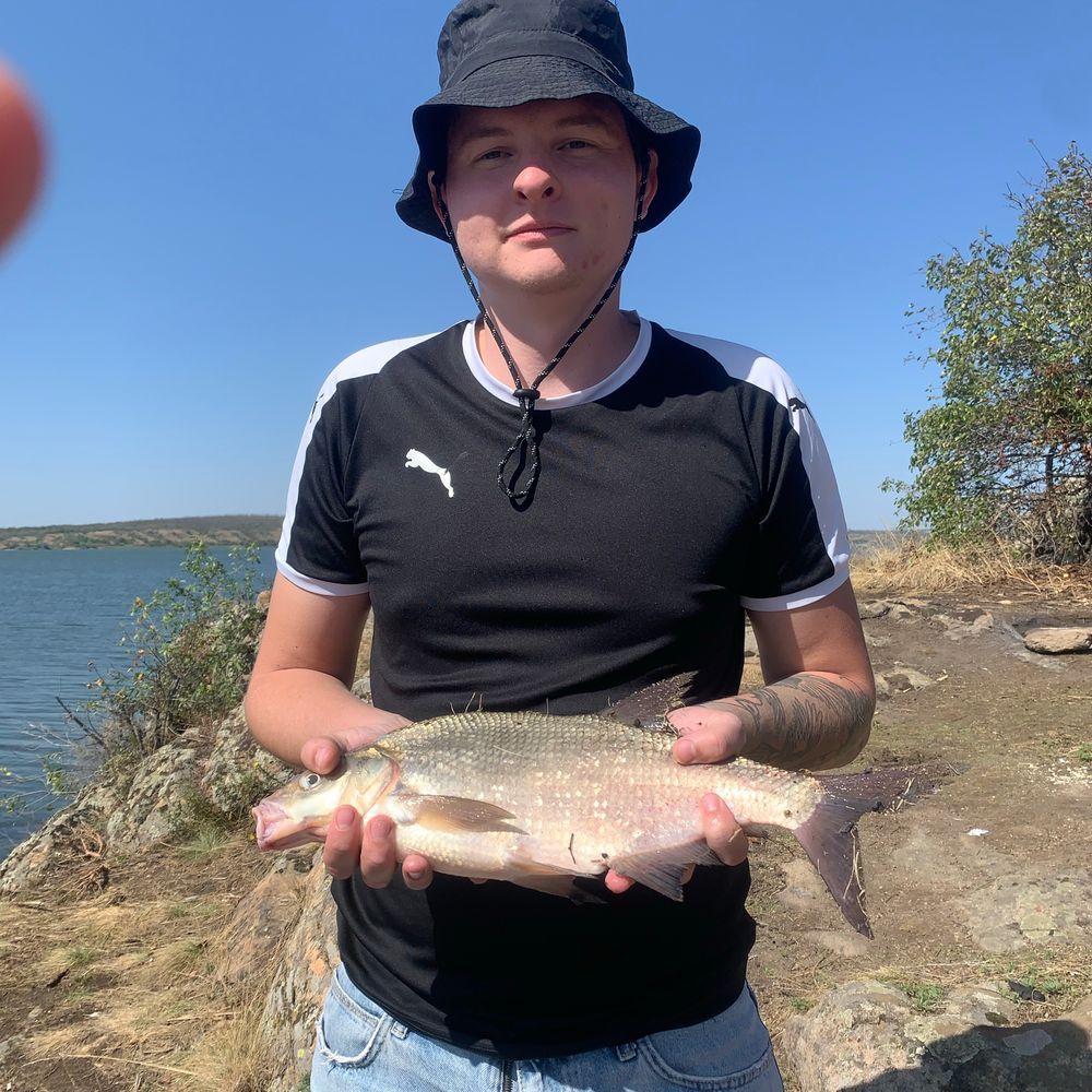
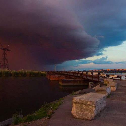
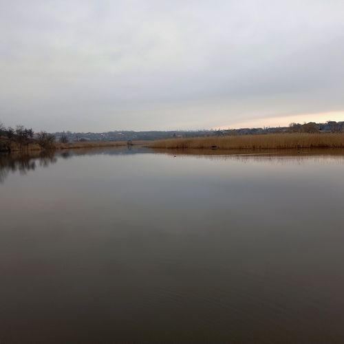
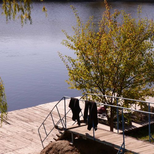
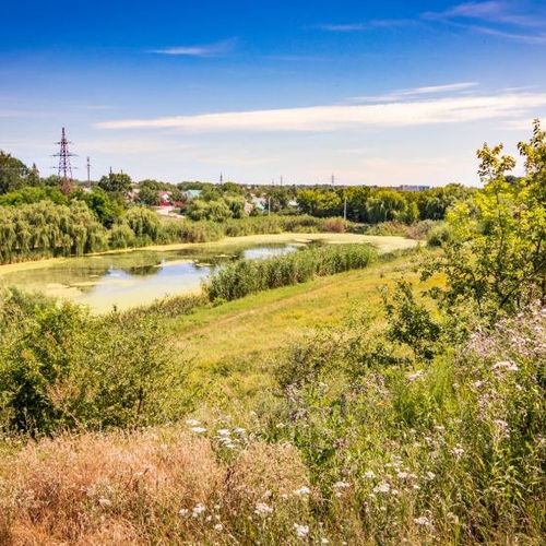
Олександрівське водосховище — велика руслова водойма на річці Південний Буг у Миколаївській області, розташована в районі Олександрівки та нижче Южноукраїнська. Це найнижче за течією водосховище на Південному Бузі та частина Південноукраїнського енергокомплексу. За актуальними даними водного господарства, його об’єм становить близько 72,1 млн м³. Для рибалок водойма цікава різноманітним рельєфом і умовами ловлі: тут є руслові ділянки, затоки, мілководдя та зони з помітною течією. У рибальських звітах з Олександрівського водосховища згадуються лящ, підлящик і плітка; водойма підходить як для фідерної та донної ловлі, так і для пошуку хижої риби. Особливості місцевості додає сусідство з Національним природним парком «Бузький Гард» — однією з найвідоміших природних територій Південного Бугу з гранітними берегами, островами та пороговими ділянками. Частина історичної території Бузького Гарду була затоплена під час наповнення водосховища. Перед риболовлею варто перевіряти актуальні правила, сезонні обмеження та межі природоохоронних територій.
Fish at the location
Allowed fishing techniques
Address
Україна, Миколаївська область, Бузьке
Михайло
Post author
Михайло
Contacts
Are you the owner of this water body?

Verify your water body, add contacts and prices. Fishermen will be able to easily find you, book a spot online, leave reviews and much more! 🎣

😄 Nicely
1 photo
0
Хоч один, але приємний. Кукуруза консервована в три рядка ... more
Published: 28.03.2025, 15:45
0
😍 Exhilarating
2 photo
1
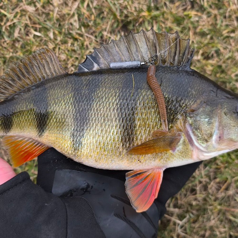
Ух і натрапив на кабанців окунців ... more
Published: 02.03.2025, 21:11
1
😍 Exhilarating
1 photo
1
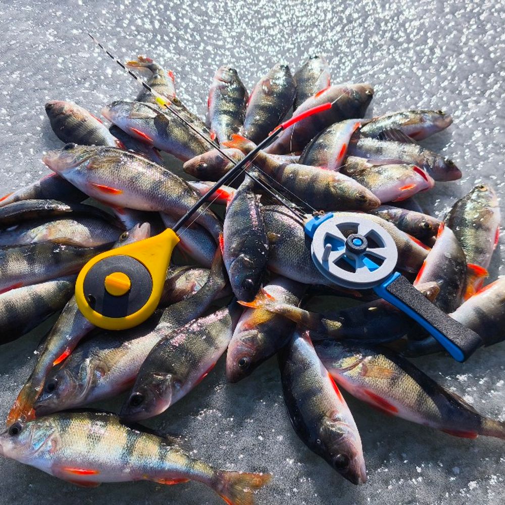
сьогодні трохи відвів душу на окуньчиках ... more
Published: 01.03.2025, 16:03
1
😍 Exhilarating
1 photo
3
повне видео на канале ссылка в профиле... more
Published: 27.02.2025, 09:37
3
😍 Exhilarating
4 photo
2
Ще один звіт який залежався в галереї. Фідерна ловля ляща і іншої рибки. Спокій та тиш... more
Published: 06.11.2024, 21:20
2
😄 Nicely
3 photo
0
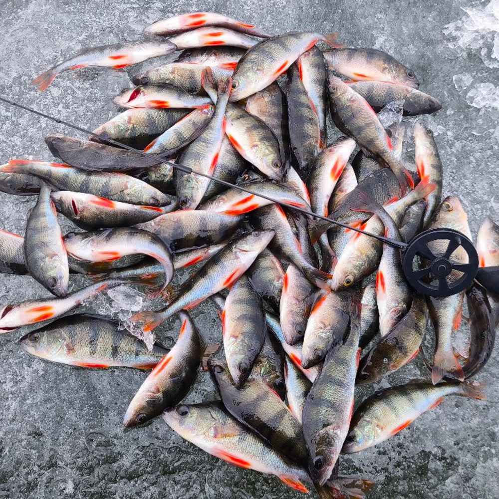
Пізній фото звіт по окуням. Попали на дикий жор окушків, за 5 годин риболовлі вийшло ... more
Published: 05.11.2024, 15:24
0
😍 Exhilarating
3 photo
2
Виїхали з батьком на нове місце пошукати щучку. Вітер був сильний, але там де немає ко... more
Published: 03.11.2024, 18:42
2
😄 Nicely
1 photo
1
судак на мандулу ... more
Published: 29.10.2024, 07:31
1
😍 Exhilarating
2 photo
2
Враження від рибалки зашкалюють ... more
Published: 15.10.2024, 19:46
2
😄 Nicely
1 photo
0
Ловля на мурмишку з поплавком, на фідер... more
Published: 28.08.2023, 12:47
0

No reviews yet

Be the first to leave a review.

Depth map of Олександрівське водосховище (П. Буг)

not yet

There is no depth map of Олександрівське водосховище (П. Буг) yet. Anyone with a sonar — Deeper, Garmin, Lowrance or Humminbird — can create it.

1Record a sonar track while fishing
2Upload the log in the Viskaart app (+)
3We build the map and everyone sees it
🎁 First map of a new water — +30 days of Viskaart Premium
What is Viskaart Depths?

Waters nearby

FAQ

Is fishing at Олександрівське водосховище (П. Буг) paid?

No, Олександрівське водосховище (П. Буг) is a natural water and fishing is free. Follow catch rules and seasonal bans.

What fish are in Олександрівське водосховище (П. Буг)?

According to angler reports, Олександрівське водосховище (П. Буг) yields: Rudd. The latest catches with photos are under “Reports”.

When is the best time to fish Олександрівське водосховище (П. Буг)?

Based on 11 reports the best season is Autumn and early spring. Daily weather and bite are in the reports.

Where is Олександрівське водосховище (П. Буг) and how to get there?

Олександрівське водосховище (П. Буг) is located in Buzke, Mykolaivska oblast. Coordinates: 47.74394, 31.18555. The map pin on Viskaart opens the route in your navigator.

How many reports and what rating does Олександрівське водосховище (П. Буг) have?

Viskaart has 11 reports from Олександрівське водосховище (П. Буг). Add your own report or review after fishing.

Scan the QR code to download Viskaart

Beta